Choosing a senior thesis topic had been something I was trying to push to the back of my mind, but as the year began and I received an email saying that it was finally time to choose an advisor and a project topic, I couldn’t avoid it any longer. I brought my list of potential topics in for review, and my advisor really liked one of the ideas I had. Just like that, I had a topic and an advisor.
The topic I choose came out of my summer research I did after my sophomore year when I was funded through the College to work with a faculty member on a science research project. I went to Cedear Island off the coast of North Carolina and collected sediment core samples from a marsh in an attempt to study the shoreline change (you can read my abstract here http://summerscience.blogs.brynmawr.edu/2010/06/22/sediment-records-of-holocene-sea-level-storms-and-shoreline-change-in-coastal-north-carolina/).
That summer on Cedar Island I had also helped collect data for a smaller side-project my advisor had been collecting for a number of years, but never compiled. We used a GPS to map the vegetation line along the coast of a particular beach that had cows and horses from a nearby farm grazing on it. The idea is that these animals eat the vegetation, which is helping to keep the dunes in place. These dunes are helping protect the beach from erosion. Essentially, the data would help us see if the grazing animals were exacerbating the problem of shoreline erosion.
I was especially interested in this project, so I proposed that I would pursue this as my senior thesis project, and my advisor was more than willing to pass on his data for me to look through and use for my project. Although my thesis is in the very nascent stages so far, the main questions I am trying to answer is whether these animals affect the coastal geomorphology. It’s a bit complicated because of course there is natural erosion occurring as well, as well as erosion caused by big storms like Irene and other anthropogenic factors, like a jetty that was constructed right next to my field site. To do this I will have to compile past mapping data and historical images of the site, along with a whole lot of reading and researching! It might also expand to include other barrier islands with grazing animals, like Assateague in Virginia. My thesis is not due until the end of the year, so I have lots of time to sort this out and come up with a conclusion!
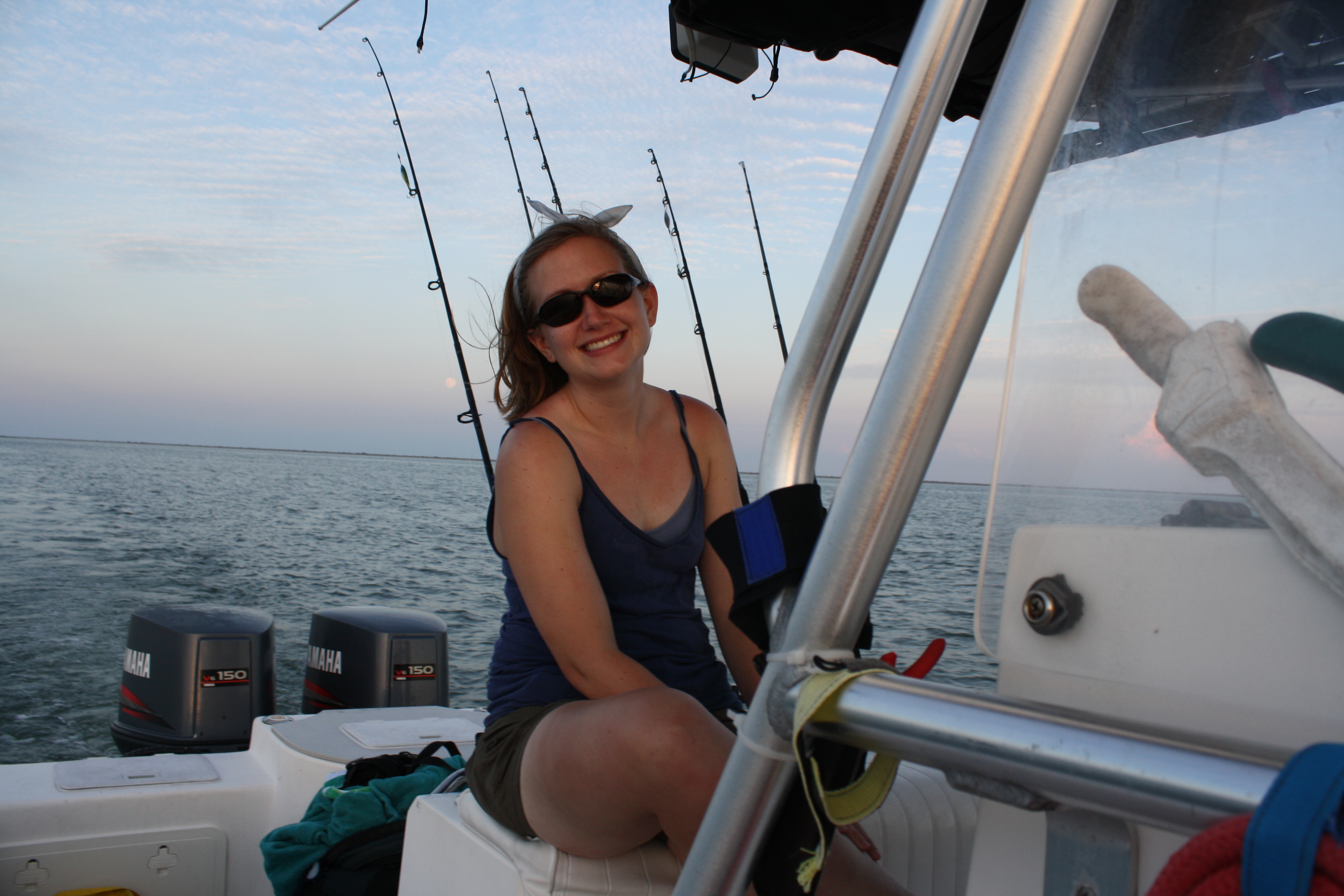
So, to start off my project, Anna (a fellow geology major), my advisor, and I headed back down to Cedar Island to continue collecting data for our projects (Anna is working on another project which you can read about here http://summerscience.blogs.brynmawr.edu/2011/08/04/holocene-depositional-variability-in-a-coastal-estuary-cedar-island-north-carolina/). We braved high temperatures, mosquitoes, mud, particularly sharp marsh grass, and even quicksand, but it was all worth it to get all of the data we needed. Plus, my advisor’s parents’ graciously hosted us, cooked for us, and let us test out their new swimming pool, so we had some relaxation time as well!
It’s only the start of a long project, but my recent field work has me really excited to start looking at the data and get going with my thesis!
Here’s some photos from the trip.
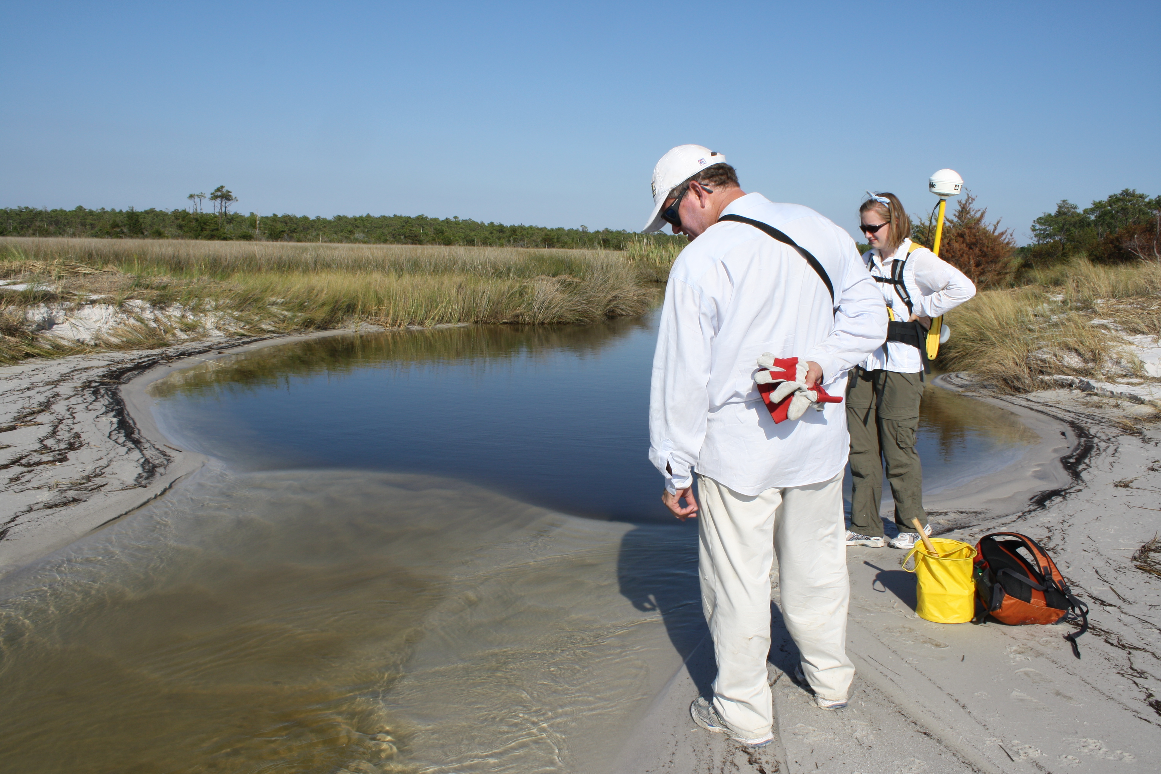
Looking at the creek in the marsh. The backpack Anna is wearing is actually a GPS satellite receiver.
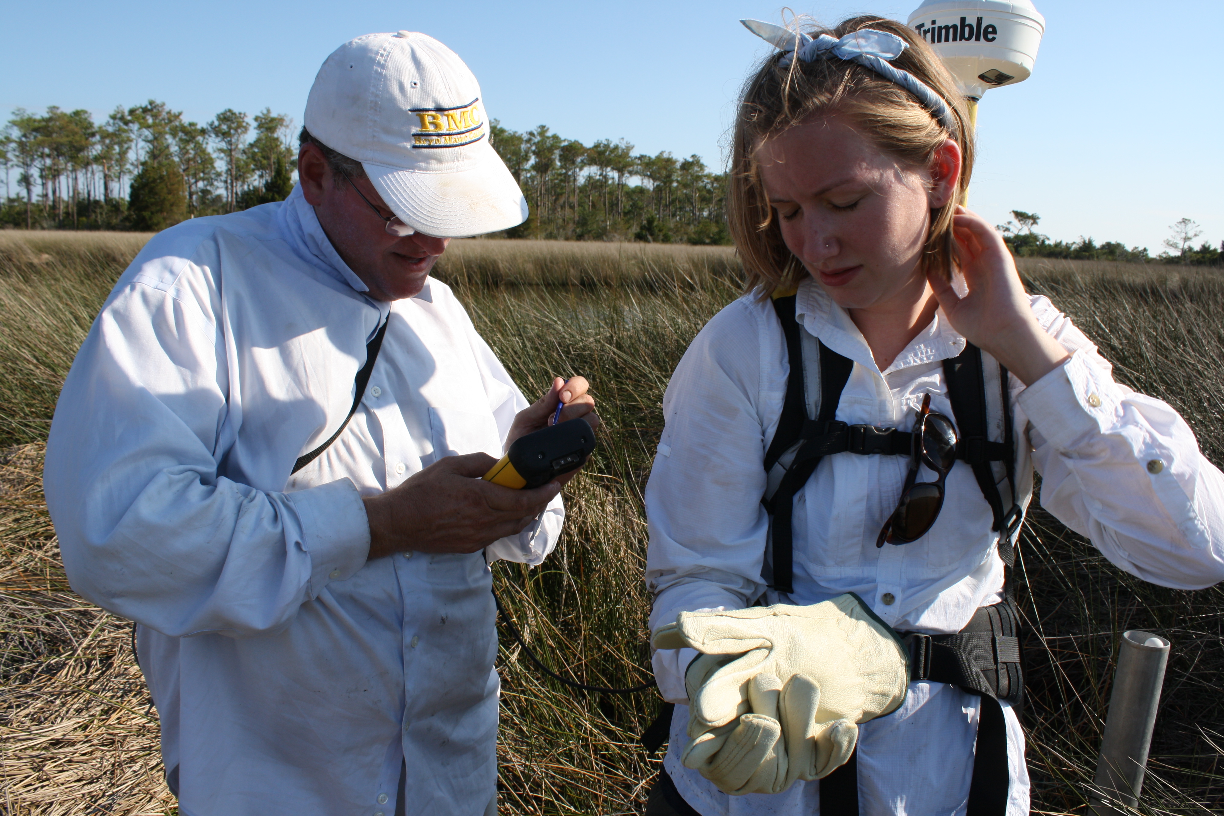
Anna and Don collecting samples and GPS points in the marsh. It was really buggy out.
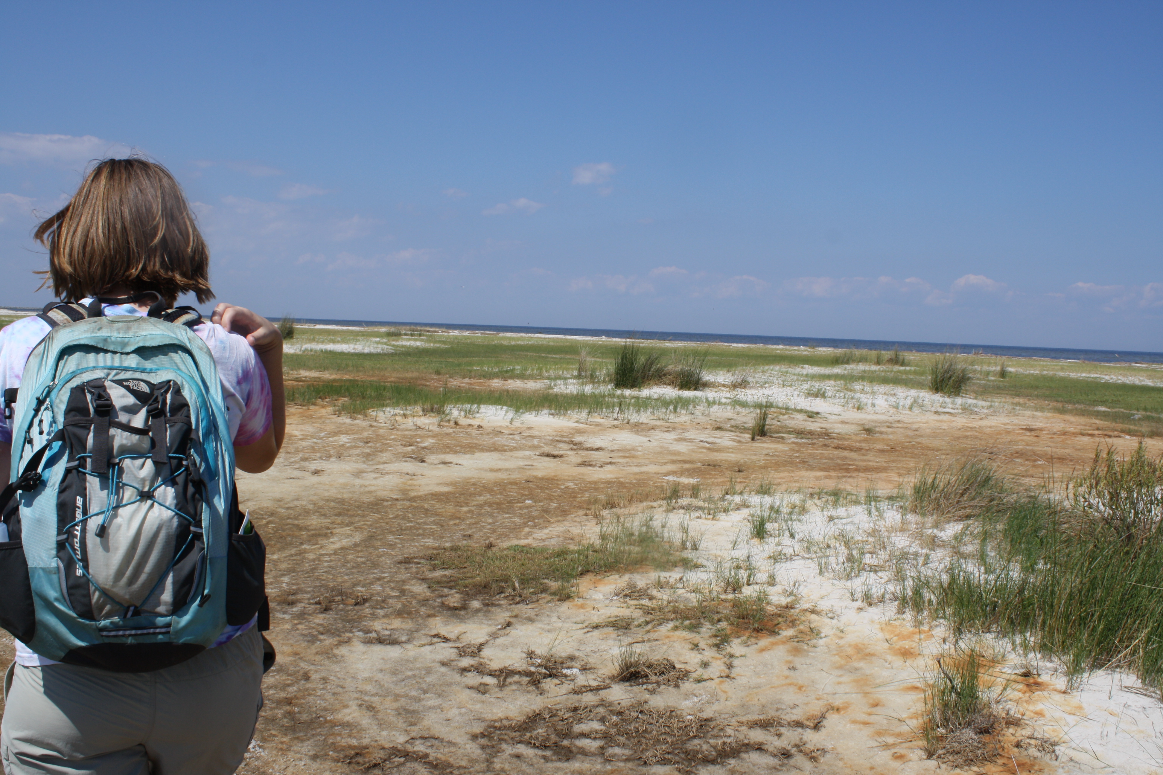
Anna helping me collect GPS data at my study site. You can see some of the vegetation on the beach in this photo.
Anna's study site is only accessible by boat.
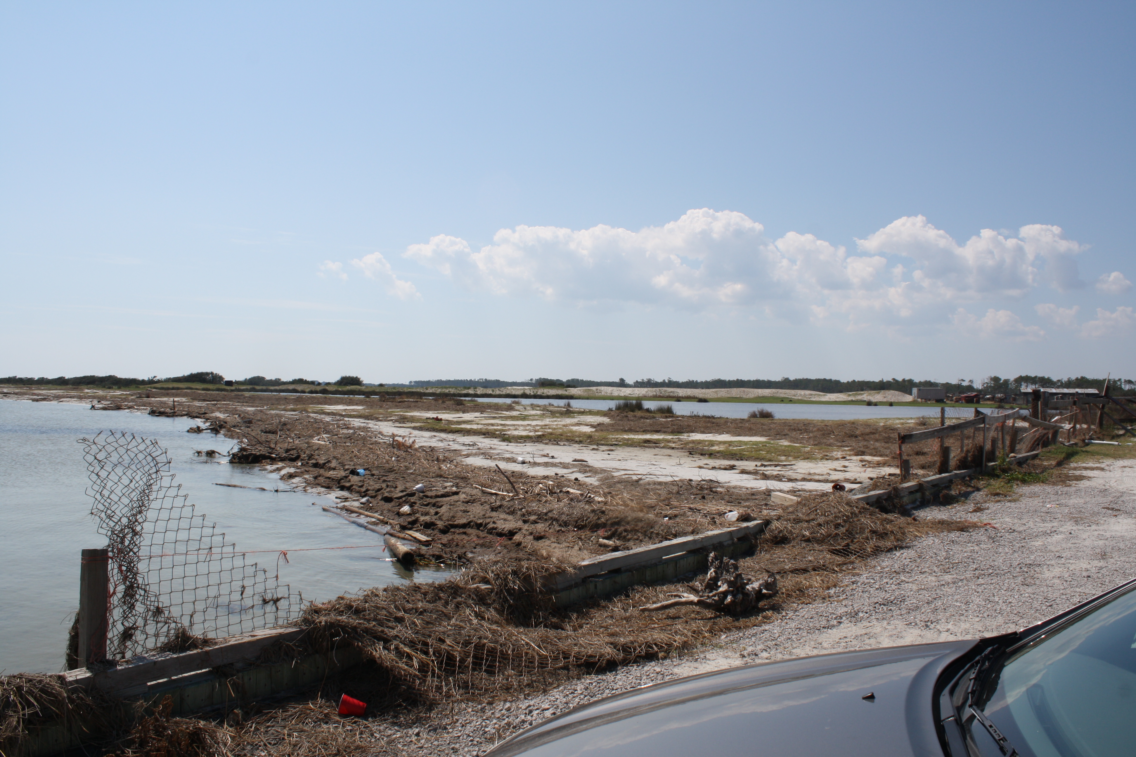
This is my study site--the southeastern-side beach on the North Bay of Cedar Island, NC.
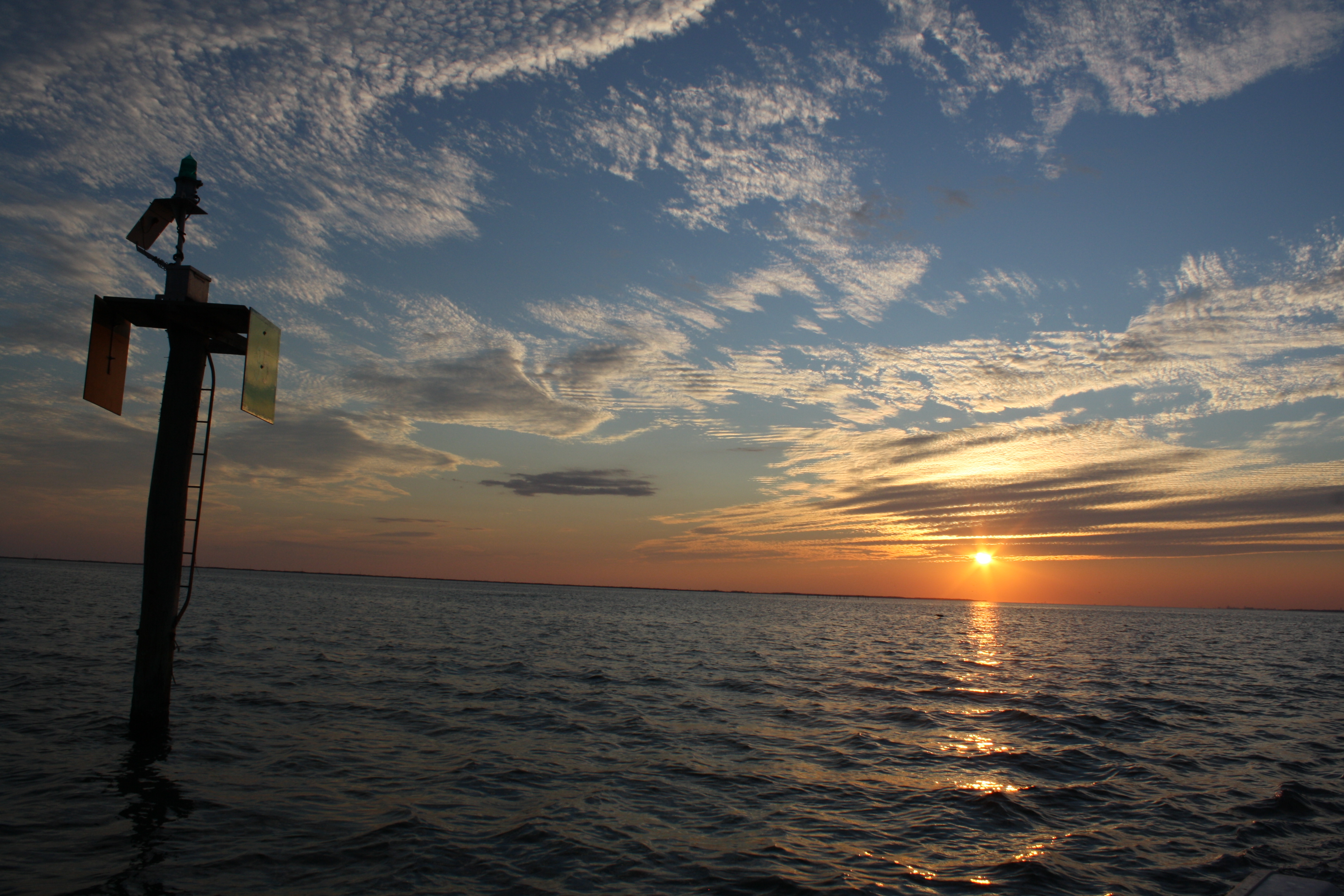
A beautiful sunset after a long day of collecting data.